|
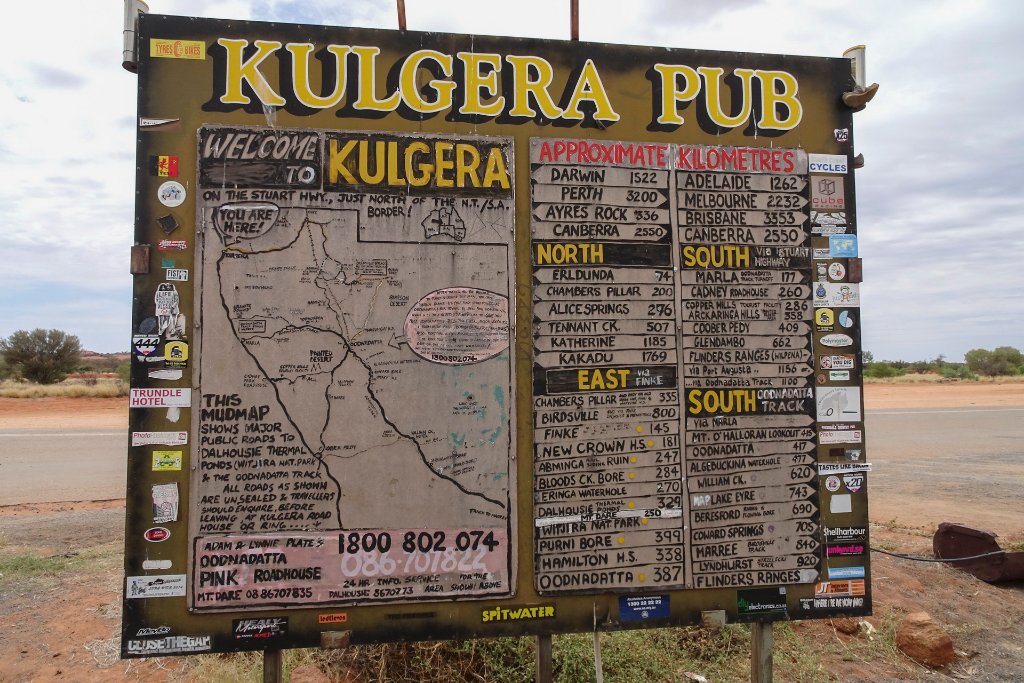 |
| 03-Kulgera Road House | |
| Latitude: S 25°50'21,00" | Longitude: E 133°18'0,55" | Altitude: 506 metres | Location: Kulgera | State/Province: Northern Territory | Country: Australia | See map | |
| Total images: 19 | Help | |
|
|
|
| 03-Kulgera Road House | |
| Latitude: S 25°50'21,00" | Longitude: E 133°18'0,55" | Altitude: 506 metres | Location: Kulgera | State/Province: Northern Territory | Country: Australia | See map | |
| Total images: 19 | Help | |